.jpg)
REPOSITORIO DE ACTIVOS DIGITALES
Depósito de documentos digitales reúne, difunde y preserva la documentación generada en los proyectos y actividades del Instituto Andaluz del Patrimonio Histórico.
https://hdl.handle.net/11532/329360
| Título : | |
| Autor : | Ferreira-Lopes, Patricia |
| Fecha de publicación: | 2018 |
| Fuente : | The International Archives of the Photogrammetry, Remote Sensing and Spatial Information Sciences, Volume XLII-4, 2018. ISPRS TC Mid-term Symposium. “3D Spatial Information Science – The Engine of Change”. (4º. 2018.Delft, The Netherlands), pp. 169-175 |
| Tipo de documento: | Artículo publicación periódica |
| Descriptores temáticos: | Investigación Bases de datos Inventarios Catalogación Patrimonio arqueológico Patrimonio inmueble |
| Editor Científico: | Zlatanova, S. Dragicevic, S. Sithole, G. |
| Código ISO Idioma: | eng |
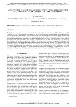
| Resumen: | During the last decade, we have witnessed an increased interest in Geographic Information Systems (GIS), including the so-called “Historical GIS”, 3D GIS heritage and its subcategory of “SDI for cultural heritage”. Specific literature reviews, gathering and analysing the scientific production for Culture Heritage and GIS based research questions, are currently lacking. Therefore, the overall goal of this article is to provide an objective summary of the current state -of-the-art concerning how GIS has been used and what methods and analysis have been applied in the field of cultural heritage. In this sense, a Systematic Literature Review (SLR) of the literature on the application of GIS in cultural heritage is carried out. To do so, the WOS and Scopus databases were considered. The results show that the dominant application of GIS is in the realisation of inventory and cataloguing of archaeological and architectural heritage. As a result of the quantitative analysis, we also verify the principal sources in which most studies have been published, highlighting the "ISPRS Archives" with 14 publications, the "Lecture Notes in Computer Science" with 9, and "Proceedings of Digital Heritage" with 6 publications. These data show that the sources that most publis h mainly belong to the field of IT and Computer Science. In addition, the SLR shows that in the last three years there has been a greater tendency to use GIS to solve more specific problems of heritage through its use in conjunction with other tools such as BIM and photogrammetry |
| Editorial : | Estados Unidos : International Society for Photogrammetry and Remote Sensing |
| ISSN: | MIAR 2194-9034 |
| URL de la versión del editor: | https://doi.org/10.5194/isprs-archives-XLII-4-169-2018 |
| Derechos: | © Instituto Andaluz del Patrimonio Histórico |
| Derechos URL: | https://creativecommons.org/licenses/by-sa/4.0/deed.es |
| Fecha de depósito: | 2019-10-28T13:42:27Z |
| Fecha disponible: | 2019-10-28T13:42:27Z |
| Formato: | application/pdf |
| URI: | https://hdl.handle.net/11532/329360 |
| Aparece en las colecciones: | Jornadas/Congresos |
| Fichero | Descripción | Tamaño | Formato | |
|---|---|---|---|---|
| aplicaciones_gis_ferreira_lopes_IMTS_2018.pdf | 903,25 kB | Adobe PDF |  Ver |
Los ítems de IAPH están protegidos por copyright, con todos los derechos reservados, a menos que se indique lo contrario.
Exportar registro
Ítems relacionados
Instituto Andaluz del Patrimonio Histórico (IAPH); Ferreira-Lopes, Patricia
González Gracia, Elena; Ferreira-Lopes, Patricia; Ojeda Calvo, Reyes; Pinto Puerto, Francisco
Instituto Andaluz del Patrimonio Histórico (IAPH); Ferreira-Lopes, Patricia
Rodríguez Miranda, Álvaro; Ferreira-Lopes, Patricia; Martín-Etxebarria, Gorka; korro Bañuelos, Jaione
Murillo Romero, María; Ferreira-Lopes, Patricia


